


Seterra Us Map Makes Learning States Simple and Fun
Learning the geography of the United States can be challenging. There are fifty…
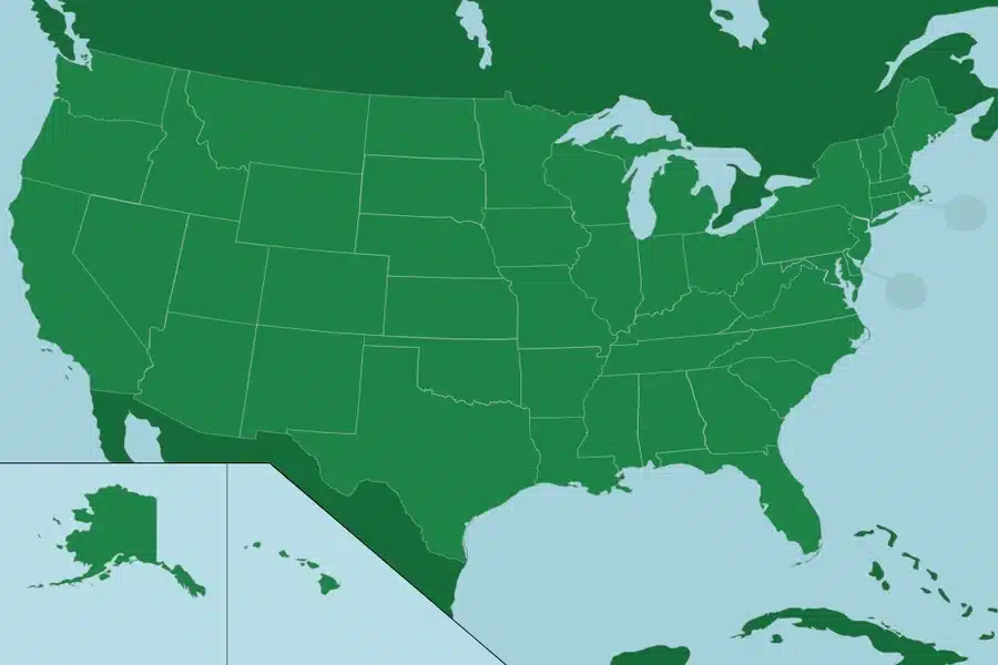
Learning the geography of the United States can be challenging. There are fifty states with different shapes and sizes. Remembering their names, locations, and capitals takes time. Seterra US Map makes this easy. It turns learning into an interactive and enjoyable experience.
Seterra US Map uses maps and quizzes. Learners click on states or capitals instead of memorizing lists. This visual method strengthens memory naturally. Repetition helps learners recognize state shapes and locations quickly. Learning becomes simple and fun.
What is Seterra US Map
Seterra US Map is an online platform for learning the geography of the United States. It covers all fifty states, capitals, and regions. Learners see a blank map on the screen. A state name or capital appears. They click on the correct location.
Immediate feedback is provided. Correct answers move the quiz forward. Wrong answers show the correct location instantly. This reinforces memory. Mistakes are part of learning and improve long-term retention. The platform includes all US regions. East, West, South, and Midwest are covered. Each state is highlighted clearly. Learners gradually recognize borders and shapes naturally. Seterra US Map works on computers, tablets, and phones. Learning can happen anywhere. No complicated setup is needed. Open the platform and start learning immediately.
Why Seterra US Map is effective
The interface is simple and clear. Learners focus on the map and the task. There are no distractions. Visual learning is its main strength. Seeing states repeatedly strengthens memory. Borders, neighbors, and positions help recall information. Over time, US geography feels familiar and easy to understand. Quiz sessions are short and engaging. Each round can be completed quickly. Short sessions prevent fatigue and keep learning light. Motivation remains high with daily practice.
The platform has a game-like design. Correct answers feel rewarding. Progress is visible after each round. This encourages learners to continue practicing and improve over time. Quizzes can be repeated multiple times. There is no pressure to be perfect. Learning happens at your own pace. Mistakes help memory and long-term understanding.
Who should use Seterra US Map
Students benefit greatly. Geography exams often include US states and capitals. This tool makes learning and revision simple and effective. Teachers and tutors find it helpful. It supports classroom lessons and homework. Students can practice independently and retain knowledge better. University students use it for exams or research. Subjects like geography, history, and US studies require knowledge of states. Seterra US Map helps refresh memory quickly. Adults preparing for exams also benefit. Many tests include US geography questions. Daily practice builds speed and confidence. Parents can use it with children. Kids enjoy clicking on maps. Learning feels like a game. This builds curiosity and early interest in geography. Casual learners enjoy Seterra US Map too. Some want better general knowledge. Others play for fun. The platform suits all types of learners.
How to practice daily with Seterra US Map
Daily practice is key. Short sessions of five to ten minutes are enough. Consistency matters more than duration. Start by observing the map carefully. Focus on state shapes, borders, and locations. Notice how regions connect. Play one round slowly. Think before clicking. This strengthens memory naturally. Avoid rushing to complete quizzes. Take a short break after each round. Then play again. Over time confusing states become easy to recall. Set small goals. Reduce mistakes each day. Focus on accuracy rather than speed. Achieving small goals makes learning enjoyable and motivating. Readers looking for updated information can check rankmyposts.co
Long term benefits of Seterra US Map
Seterra US Map provides lasting benefits. Learners gain a clear understanding of the United States. This helps in exams, studies, and daily life. Following news and events becomes easier. Recognizing states adds context to stories from different regions. Memory and visual learning improve. Repetition strengthens recall and helps in other subjects. Confidence grows as learners see progress. Questions about US states no longer feel difficult. Answers come naturally and quickly. Seterra US Map also encourages positive learning habits. Short daily practice builds discipline and routine. Learners see that steady effort produces real improvement. Most importantly, Seterra US Map proves that learning the geography of the United States does not have to be hard. With the right interactive tool, even fifty states become easy to understand and remember.
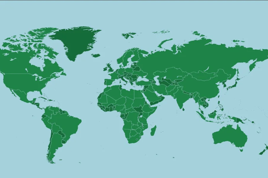
Seterra Countries of the World Helps You Learn Maps Easily
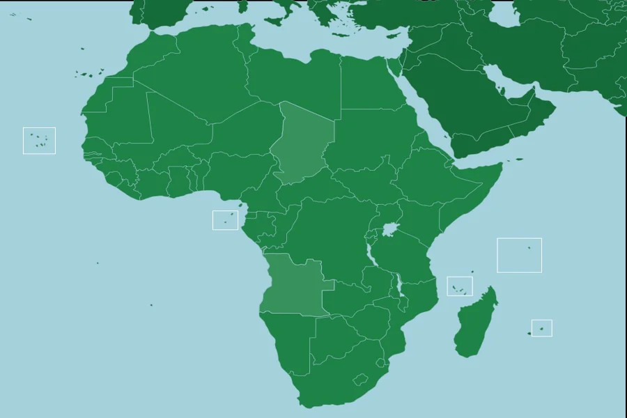
Seterra Africa Countries Helps You Learn Maps Easily
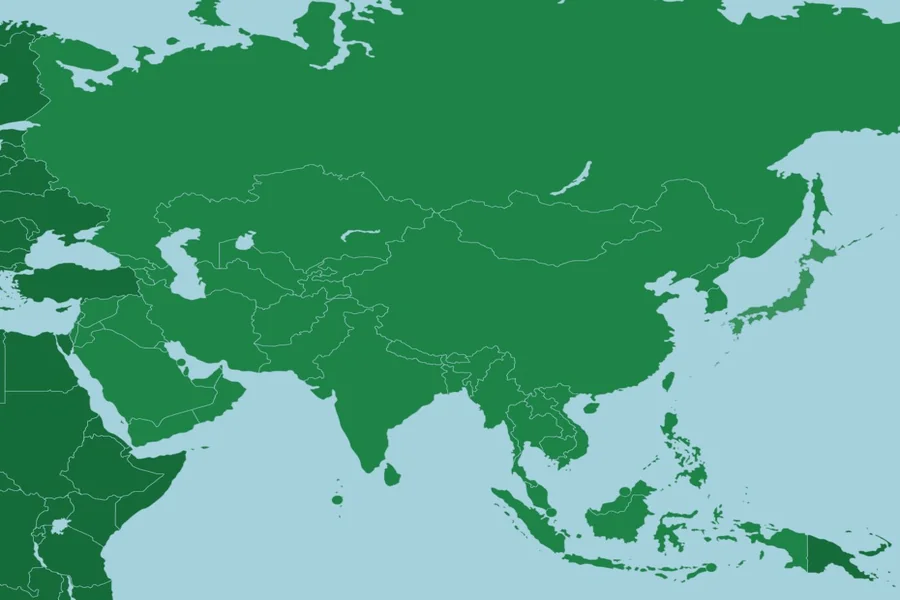
Seterra Asia Map Helps You Learn Countries and Regions Fast
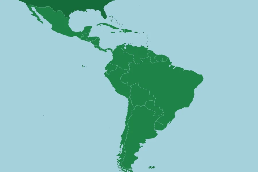
Latin America Seterra Helps You Learn Countries Easily
