


Seterra Australia – Explore the Land Down Under Easily
Seterra Australia is an interactive map tool designed to make learning about Australia…
Seterra Australia is an interactive map tool designed to make learning about Australia simple and fun. It helps students, teachers, and geography enthusiasts locate states, cities, and important landmarks across the country. This tool is easy to use, allowing learners to click on map sections and immediately receive feedback. This method reinforces memory and makes studying engaging.
Seterra Australia works on computers, tablets, and smartphones. This flexibility allows learning anywhere at any time. It is suitable for classroom lessons, homework, or personal practice, making it a versatile tool for all types of learners.
What is Seterra Australia
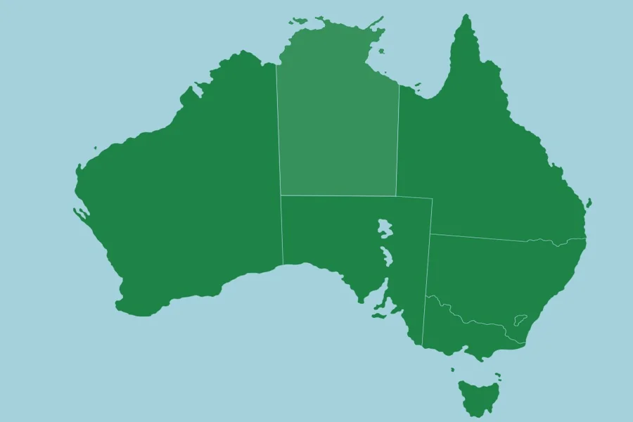
Seterra Australia is a digital map platform focused on Australian geography. It provides blank maps of Australia and quizzes users on locations of states, territories, and major cities. It covers all regions, from New South Wales to Western Australia. Users can also learn about significant landmarks, rivers, and mountain ranges.
The quizzes are interactive. Correct answers are highlighted, while incorrect guesses show the right locations. This visual approach helps learners understand geography better. Repeated practice aids in memorizing state boundaries, capital cities, and physical features. The interactive style encourages active learning rather than passive reading.
How to Use Seterra Australia Effectively
To get the most out of Seterra Australia, start by learning major states and their capitals. Focus on one region at a time to avoid confusion. Practicing daily in short sessions is more effective for memory than occasional long sessions.
Begin with labeled maps to familiarize yourself with names and positions. Later, switch to blank maps to test your knowledge. Repeating quizzes frequently strengthens recall and builds confidence in identifying locations. Combining online practice with physical maps, including drawing and labeling, can reinforce learning visually and kinesthetically.
Who Can Benefit from Seterra Australia
Students learning Australian geography for school will find Seterra Australia extremely useful. Teachers can use it in classrooms to make lessons interactive and engaging. Parents can support their children’s learning at home with fun map quizzes.
Travelers and geography enthusiasts can explore Australia and learn the locations of states, cities, and landmarks. Additionally, anyone preparing for geography competitions or exams can benefit from the quick and effective practice provided by this tool.
Advantages of Using Seterra Australia
Interactive quizzes make learning enjoyable and engaging. Immediate feedback helps correct mistakes and reinforces accurate knowledge. Flexible learning allows practice anywhere and anytime, making it suitable for all ages, from children to adults. Repetition improves memory, focus, and confidence in geography knowledge.
Seterra Australia makes exploring the Land Down Under both easy and fun. By using interactive maps and repeated quizzes, learners can master the geography of Australia, including its states, capitals, and landmarks. It is a useful tool for students, teachers, travelers, and anyone passionate about Australian geography.
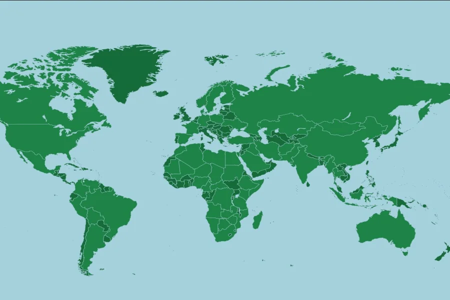
Seterra Countries of the World Helps You Learn Maps Easily
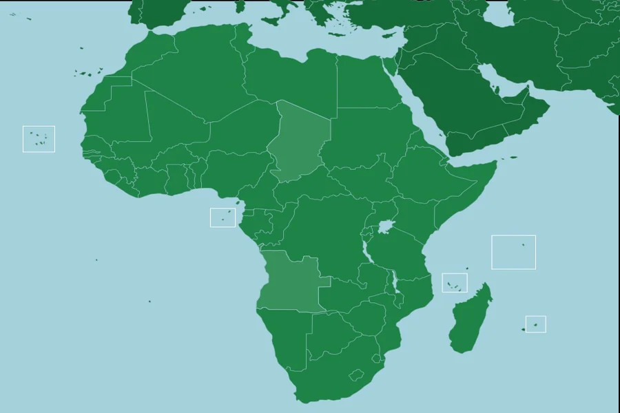
Seterra Africa Countries Helps You Learn Maps Easily
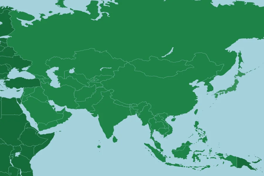
Seterra Asia Map Helps You Learn Countries and Regions Fast
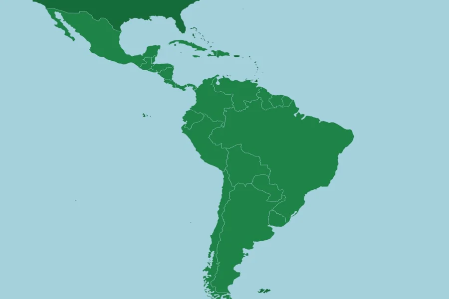
Latin America Seterra Helps You Learn Countries Easily
