


Seterra Printables – Fun and Easy Geography Learning Tools
Seterra Printables are a simple way to learn geography offline. They bring maps,…
Seterra Printables are a simple way to learn geography offline. They bring maps, countries, and capitals into a printable format, allowing learners to study anywhere without needing a computer or internet. These printables are designed to be clear and easy to understand. Maps are visually appealing, and capitals and countries are easy to identify, helping learners retain information faster.
What are Seterra Printables
Seterra Printables are worksheets featuring maps and geography exercises. They include blank maps where learners can fill in countries, capitals, or regions. These worksheets cover continents, countries, states, and oceans, allowing learners to practice identifying locations by hand. This method strengthens memory differently than digital quizzes.
Teachers and students can print maps directly, making the worksheets ready for classroom exercises or homework. Printables can also be used for fun activities at home, such as coloring maps, labeling capitals, and enjoying geography in a visual and interactive way.
How to Use Seterra Printables Effectively
To use Seterra Printables effectively, start by choosing a topic, such as continents, countries, or states. Regular practice with the worksheets helps learners remember locations better. They can be combined with digital tools—practicing on Seterra online and then printing worksheets to test knowledge. Writing by hand reinforces memory.
It is important to check answers carefully. Reviewing mistakes helps learners identify areas for improvement. Setting small goals, like completing one map at a time, encourages learning without stress and creates a sense of achievement.
Who Can Benefit from Seterra Printables
Students are the primary users of Seterra Printables, as they help prepare for geography exams and school projects. Teachers can use them in classrooms since worksheets are easy to distribute and support individual or group practice.
Parents can also support their children at home, making learning interactive and enjoyable. Adult learners benefit too, as printables offer a break from screens while practicing maps and capitals. Even travel enthusiasts can use them to familiarize themselves with world countries and regions.
Advantages of Using Seterra Printables
One of the main advantages is offline learning, eliminating the need for internet access. Writing the names of countries and capitals by hand improves memory retention. Printables also allow for a flexible learning pace, as learners can pause, review, and repeat exercises at any time.
These worksheets are suitable for all ages, from children to adults, and are visually engaging. Coloring maps and filling in blanks keeps learners motivated and actively involved.
Long-Term Benefits of Seterra Printables
Consistent use of Seterra Printables strengthens geography knowledge. Capitals, countries, and regions become easy to recall. Learners also develop stronger visual memory, recognizing the shapes of countries and borders naturally.
Confidence grows as learners successfully complete worksheets. Repeated practice reduces mistakes and builds understanding. Additionally, printables teach focus and discipline, as completing worksheets requires attention to detail and careful observation.
Overall, Seterra Printables demonstrate that learning geography can be fun, hands-on, and effective. By combining visual maps with interactive exercises, learners gain a strong understanding of the world’s countries, continents, and capitals.
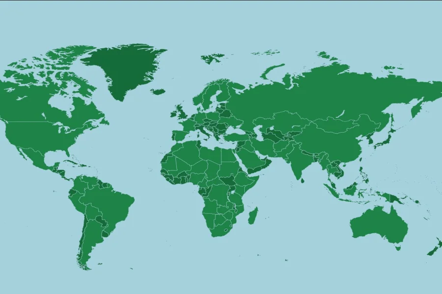
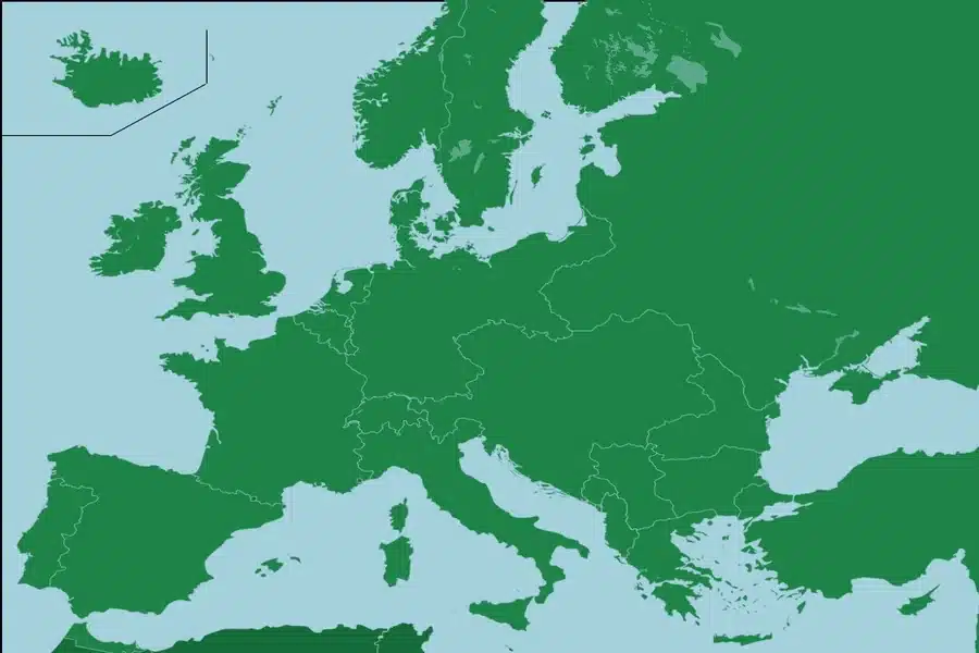
Seterra Countries of the World Helps You Learn Maps Easily
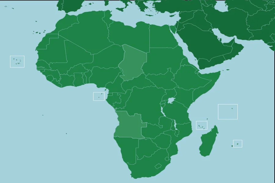
Seterra Africa Countries Helps You Learn Maps Easily
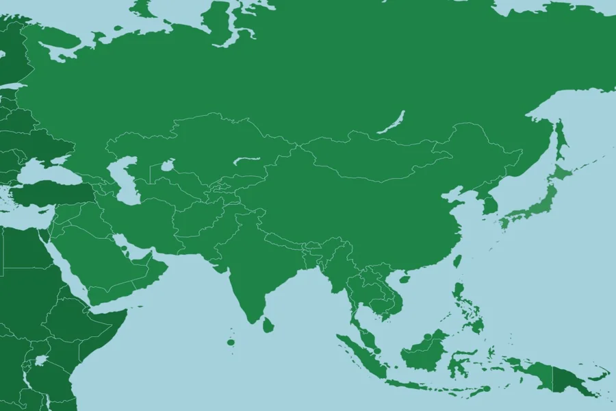
Seterra Asia Map Helps You Learn Countries and Regions Fast
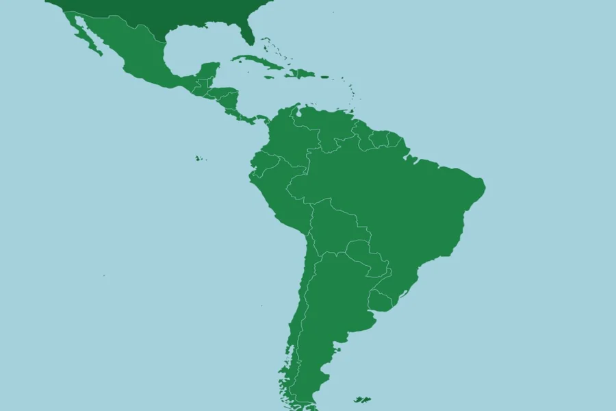
Latin America Seterra Helps You Learn Countries Easily
